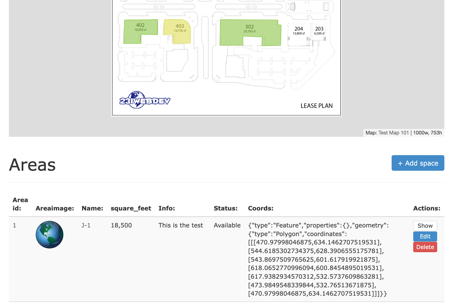
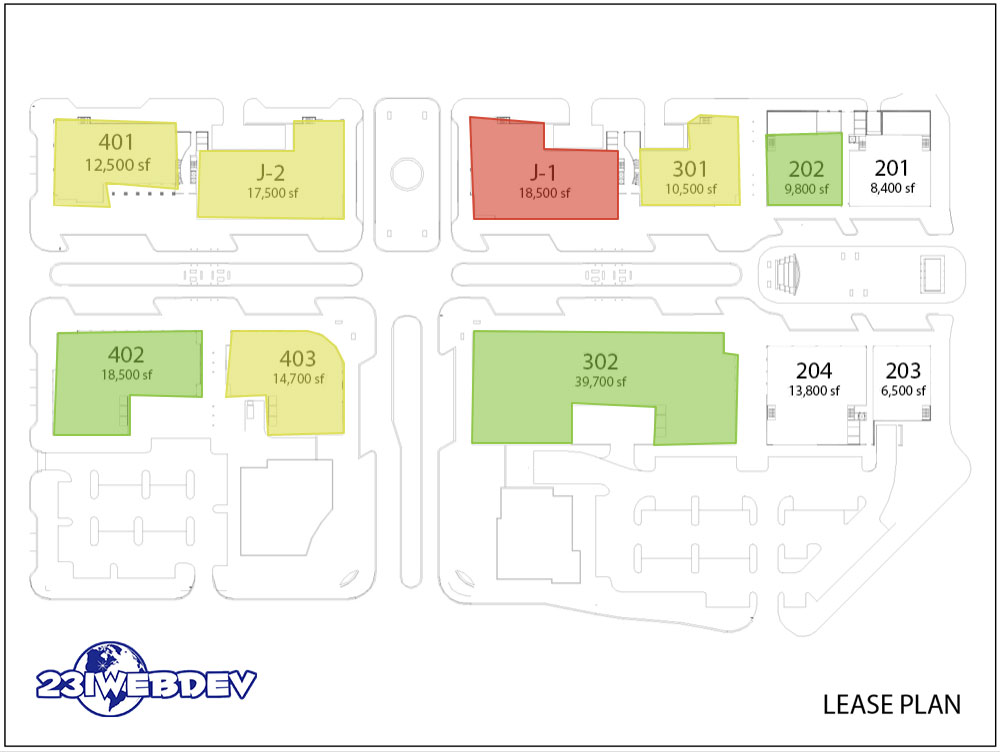
This app has user authentication with Devise, and mapping with leaflet.js and drawing shapes with Leaflet Draw. I figured out a clever way to allow clicks on the map image to create coordinates in an array that leaflet understands and then saving it into a field.
It’s something that you have to try out for yourself. Go here and hit “Add Space +” to add an area to the map: Mapping Example. It’s user-friendly both on a desk-top and on a mobile device.

This is something that the property development managers and leasing representatives really get a kick out of. Hit the add space button under the map and get to plotting points.
